Floodplain Management
Floodplain & Water Resources Services
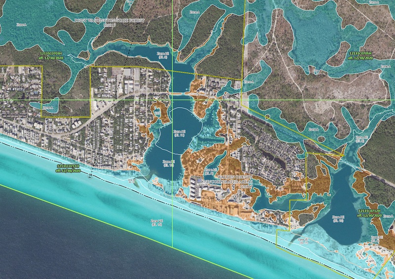
 Flood and Coast Engineering (FCE) is dedicated to helping our clients reduce their flood insurance costs and comply with Federal, State and County regulations for developing within the floodplain or special flood hazard areas (SFHA). The National Flood Insurance Program (NFIP) is managed by the Federal Emergency Management Agency (FEMA) and the FEMA is responsible for administrating changes to the Flood Insurance Rate Maps which show how likely an area is to flood during a storm event. Sometimes these maps are created using outdated topography or use legacy modeling techniques that no longer accurately depict the limits of flooding as landuse changes or developments are built out. Additionally, flood stage elevations or base flood elevations (BFE) may not be known and need to be determiined (Zone A) in order to receive a development order, or elevation certificate. FCE has the necessary experience and knowledge when it comes to flood insurance, developing within a flood zone (SFHA) and or establishing BFE's. Listed below are some of the professional engineering services we offer:
Professional Services Offered
- Letter of Map Revision (LOMR).
- Conditional Letter of Map Revision (CLOMR).
- Letter of Map Amendment (LOMA).
- Letter of Map Change (LOMC).
- No-Rise Certifications.
- Wave Hazard Analysis.
- Water Quality Analysis.
- Sea Level Rise Analysis.
- Hydrology and Hydraulic Numerical Modeling.
- Watershed Delineation and Management.
- Flood Stage Impact Analysis.
- Floodwater Reduction Analysis.
- Hydrographic Studies.
- Coastal, Storm Surge and Surface Water Analysis.
Contact Us
Get in contact with Flood & Coast Engineering by clicking the button below
or by giving us a call at +1 850-904-0788.
