Numerical Modeling & Data Collection
Numerical Modeling
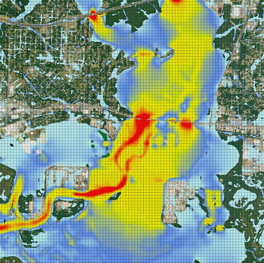
 Flood and Coast Engineering (FCE) provides professional engineering services by employing cutting-edge technology and expert knowledge to deliver impactful and sustainable solutions that safeguard coastal communities for future generations. In order to support our mission, FCE utilizes the latest models and tools to aide in the prediction of flooding impacts, sediment transport, morphological and shoreline change, and water quality impacts. FCE uses a wide array of numerical models for simulating hydrology, hydraulics, morphology, and water quality parameters. Our modeling suite includes models that are capable of simulating riverine, coastal, and estuarine environments in 1D, 2D, and 3D depending on the project needs. FCE has a suite of models availble to use allowing us to select the best tool for the project. The following list offers a selection of the modeling suites available and some of the modeling services we provide:
Numerical Models & Modeling Services:
- HEC-RAS 2D & HEC-HMS.
- ICPR/Stormwise.
- Delft3D & Delft3D-FM.
- Surface-water Modeling System (SMS).
- ACES & SBEACH.
- RMA-2 & RMA-4.
- CMS-FLOW, CMS-WAVE, & GenCADE.
- EPA SWMM Model
- Sea Level Rise Analysis.
- Hydrology and Hydraulic Numerical Modeling.
- Watershed Dileneation and Management.
- Flood Stage Impact Analysis.
- Floodwater Reduction Analysis.
- Feasibility Studies.
- Coastal, Storm Surge and Surface Water Analysis.
Data Collection
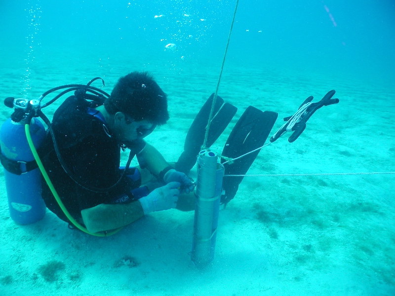
 Flood and Coast Engineering (FCE) has the experience and is capable of deploying a wide array of instruments to capture and record in-situ data from a variety of environments within the southeastern United States region. This includes estuarine, near coastal, and riverine environments. We have experience in deploying and analyzing data for Acoustic Doppler Current Profilers (ADCP), Tide Gauges, sUAS/Drones, Conductivity-Temperature-Depth (CTD) profilers, environmental/YSI sondes/probes for water quality assessments, & many more. Additionally, we can deploy and analyze remote sensing instruments including side-scan sonar, magnetometers, and sub-bottom profilers for marine reconnaissance and geotechnical investigations. Provided below is a sample of the instrumentation we can deploy:
Professional Services Offered
- Acoustic Doppler Current Profilers (ADCP - currents, tides, & waves).
- Tide Gauges (water levels).
- Conductivity, Temperature, Depth (CDT) Gauges (Salinity).
- Flurometer/Rhodamine Dye (Flushing Studies).
- Turbidometer/Turbidity.
- Biological/Fecal Sampling & Analysis.
- Water Quality Sampling & Analysis.
- Sub-Bottom profilers.
- Magnetometers.
- Side Scan Sonar.
- Single/Multi Beam Bathymetry.
- Remote Data Logging/Collection.
- RTK/DGPS Topography.
- sUAS/Drone based Topography & Aerials.
Contact Us
Get in contact with Flood & Coast Engineering by clicking the button below
or by giving us a call at +1 850-904-0788.
